Cold Waters

HOME

Vessels | Victoria, British Columbia to Alaska | Aleutian Islands, Alaska | Little Diomede Island, Alaska | The Yukon, Canada | Sachs Harbor/Ikaahuk, Northwest Territories | Holman/Uluqsaqtuuq, Victoria Island | Coppermine / Kugluktuk, Nunavut | Cambridge Bay/ Ikaluktutiak, Nunavut | Gjoa Haven/ Ursuqtuuq | Spence Bay/Taloyoak, Northwest Territories | Arctic Circle Crossing Initiation | Excursion onto the Ice | Laurier 2000 Photo Album | Saint Lawrence Island Polynya Project 2001 | SLIPP 2001 Photo Album | The Arctic Rose Tragedy
Little Diomede Island, Alaska

Through Unimak Pass in the Aleutian Islands, north through the Bering Sea to Little Diomede Island in the Bering Strait

map.jpg

Little Diomede Island, Alaska lies 2.5 miles west of Big Diomede Island, Russia in the Bering Strait, which separates Siberia and Alaska.
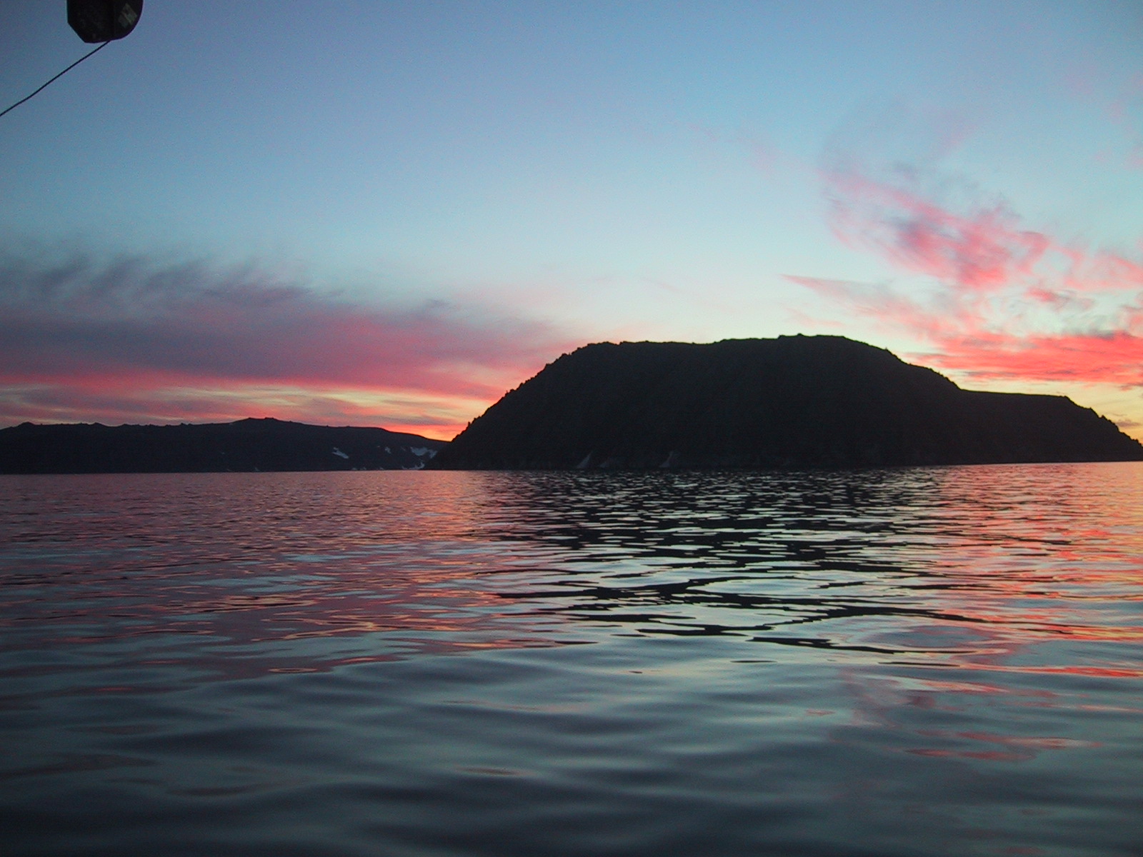
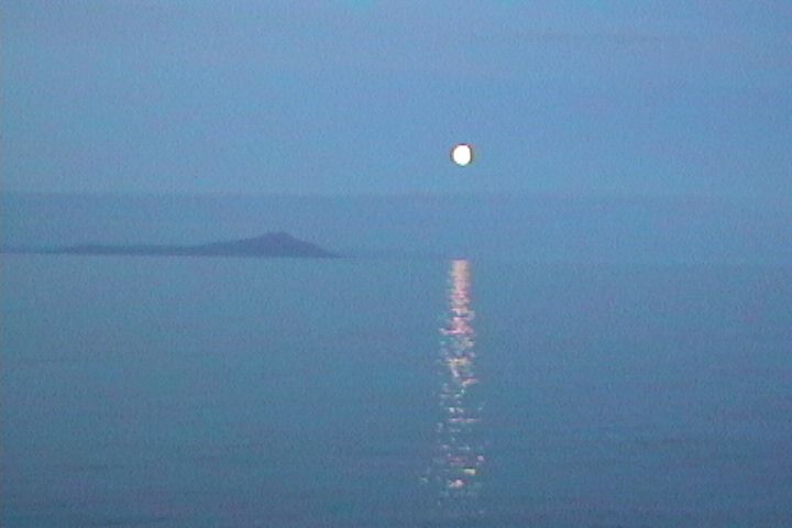
The International Date Line runs through the Bering Strait, so looking across the water from Little Diomede to Big Diomede is actually looking into yesterday. The Date Line mostly coincides with the 180 meridian, but curves irregularly to avoid crossing over land masses.

diomedes

Above: Big Diomede Island, Russia is in the background, Little Diomede Island, Alaska is in the foreground. (Photo by A. Balsom)

diomedemoon2.jpg

Above: The edge of Little Diomede Island at moonrise. (Photo by A. Balsom)

boatbluff1.jpg

Above: View of Little Diomede graveyard. Frozen ground and lack of soil prevents digging graves; instead, rocks are piled on top of burial sites. Little Diomede is also a rookery for several million seabirds during summertime. The flocks look like clouds of flies and the bird calls are an unbelievable cacophony. (Photo by J. Eert)

boatbluff1.jpg

Above: The official U.S. post office on Little Diomede Island. Mail must be brought in and taken out by helicopter (as is the case with all other supplies). (Photo by A. Balsom)

sunset.jpg

Above: View of Bering Sea at night. (Photo by A. Balsom)