|
|
|
|
|
|
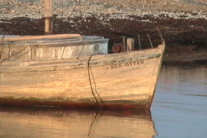
Above: A Hudson's Bay Company wooden boat, the Sea Otter, abandoned at Gladman Point near a DEW line site. Wood does not rot at any appreciable rate in these cold temperatures. (Photo by A. Balsom) 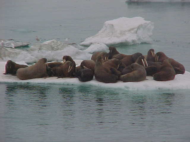
A herd of walrus resting on an ice floe in Franklin Bay. Walrus dive to the sea floor in order to feed on clams--they use their whiskers to feel along the bottom. They can suck the meat right out of the shells. (Photo by S. Kennedy) 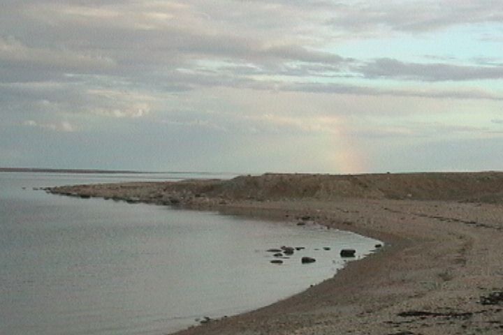
An arctic rainbow over Gladman Point. (Photo by A. Balsom) 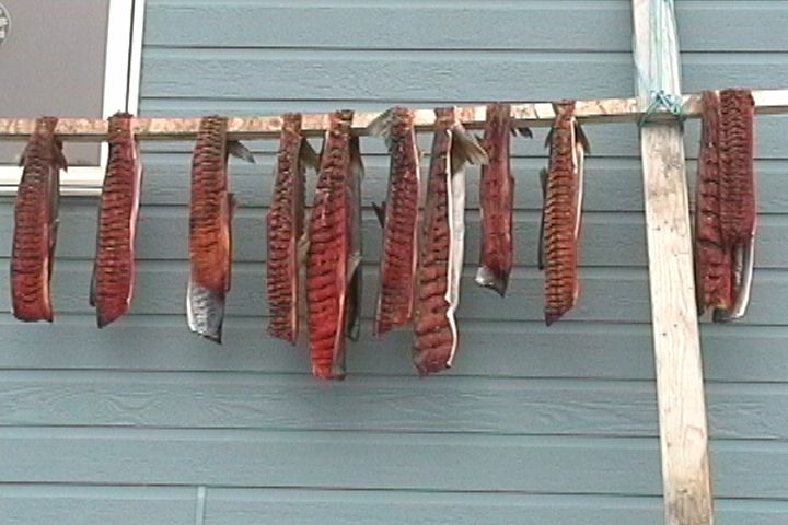
Char drying on a rack outside of a Gjoa Haven house. (Photo by A. Balsom) 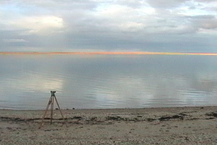
Hydrographic surveying equipment at Gladman Point. (Photo by A. Balsom) 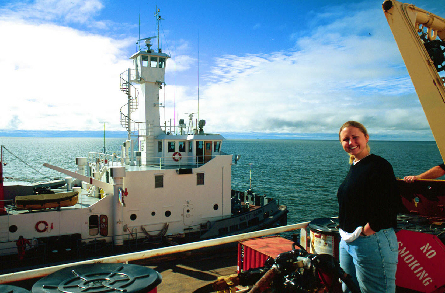
The Matt Berry refueling tug meeting the Laurier to deliver more fuel for the trip. (Photo by G. Rohatensky) 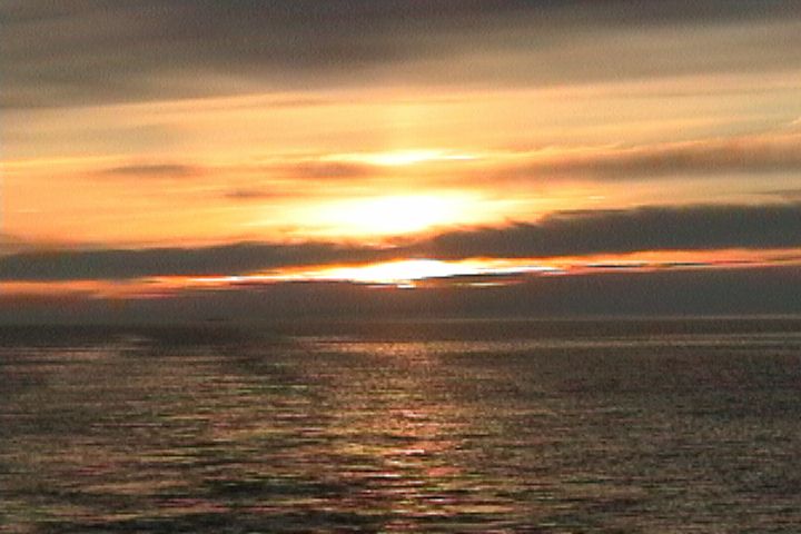
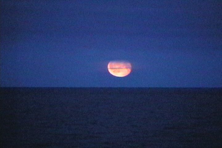
A Bering Sea sunset. (Photo by A. Balsom) 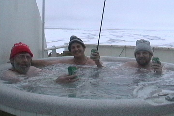
Hydrographers taking a well-deserved break in the hot tub, sporting frozen hats. (Photo by A. Balsom) 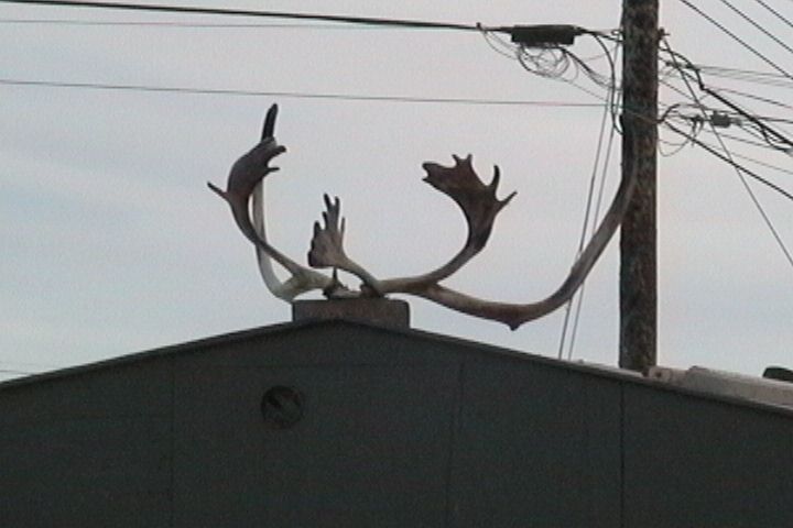
Caribou antlers decorating a Cambridge Bay rooftop. (Photo by A. Balsom) 
Helo ops taking place on the Laurier. (Photo by A. Balsom) |
| | 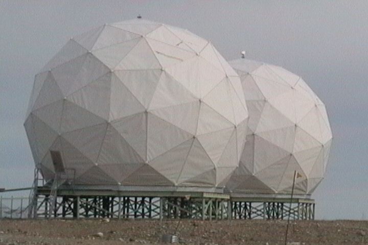
Distant Early Warning (DEW) Line Site. A cooperative US-Canadian surveillance system from the Cold War era. Many of the DEW line sites are unmanned now, many non-operational. (Photo A. Balsom) 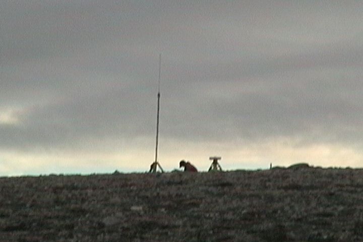
Andrew L., a Canadian Hydrography Service scientist, taking GPS readings on Club Island in order to develop more accurate regional charts. (Photo by A. Balsom) 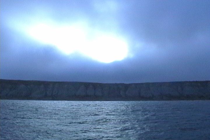
Sun coming out behind clouds at Bathurst Inlet. (Photo by A. Balsom) 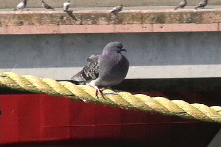
A British Columbian pigeon resting on a dock. (Photo by A. Balsom) 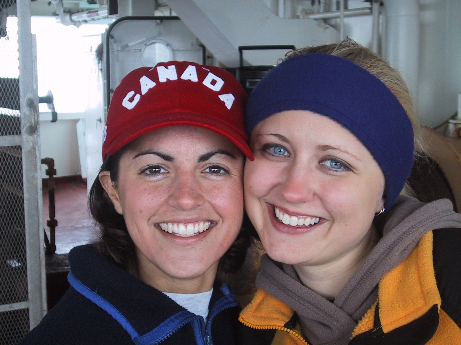
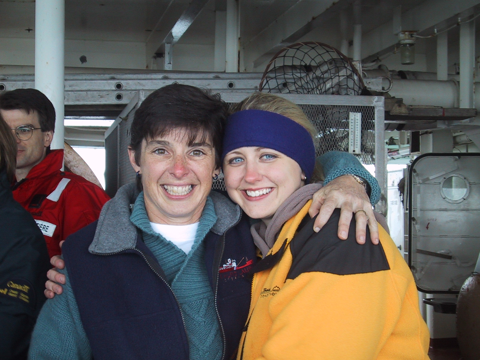
Jackie and Ari 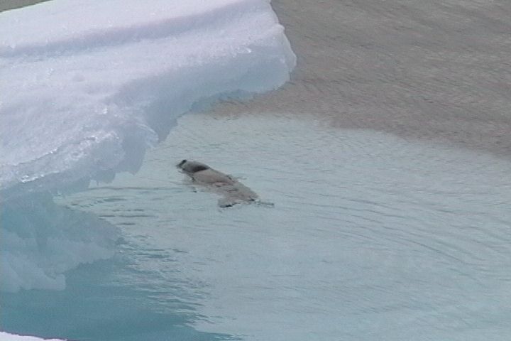
A lone baby seal hiding in the shelter of a passing ice floe. (Photo by A. Balsom) 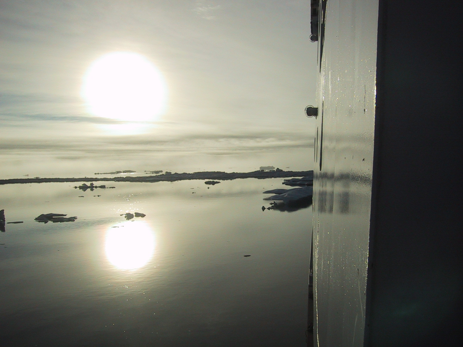
Sun and water reflection off of the Laurier. (Photo by A. Balsom) 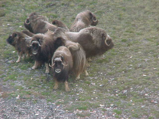
Muskoxen taking their infamous defensive stance. Adults will push babies into the center, and defend against attackers (in this case, a helicopter) with their horns, sometimes charging. (Photo by Laurier crew) 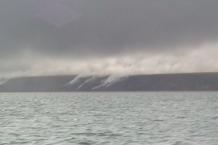
The Smoking Hills of Bathurst Inlet. It is known as the "land of the sour water" by the Inuit. The smoke consists of steam, sulfuric acid, and sulfur dioxide, emitted by ignited bitumous shale, iron pyrite, and sulfur. The area has been burning for thousands of years. (Photo by A. Balsom) 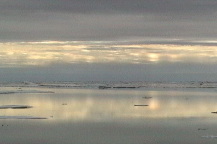
Absolute calm. (Photo by A. Balsom) |